
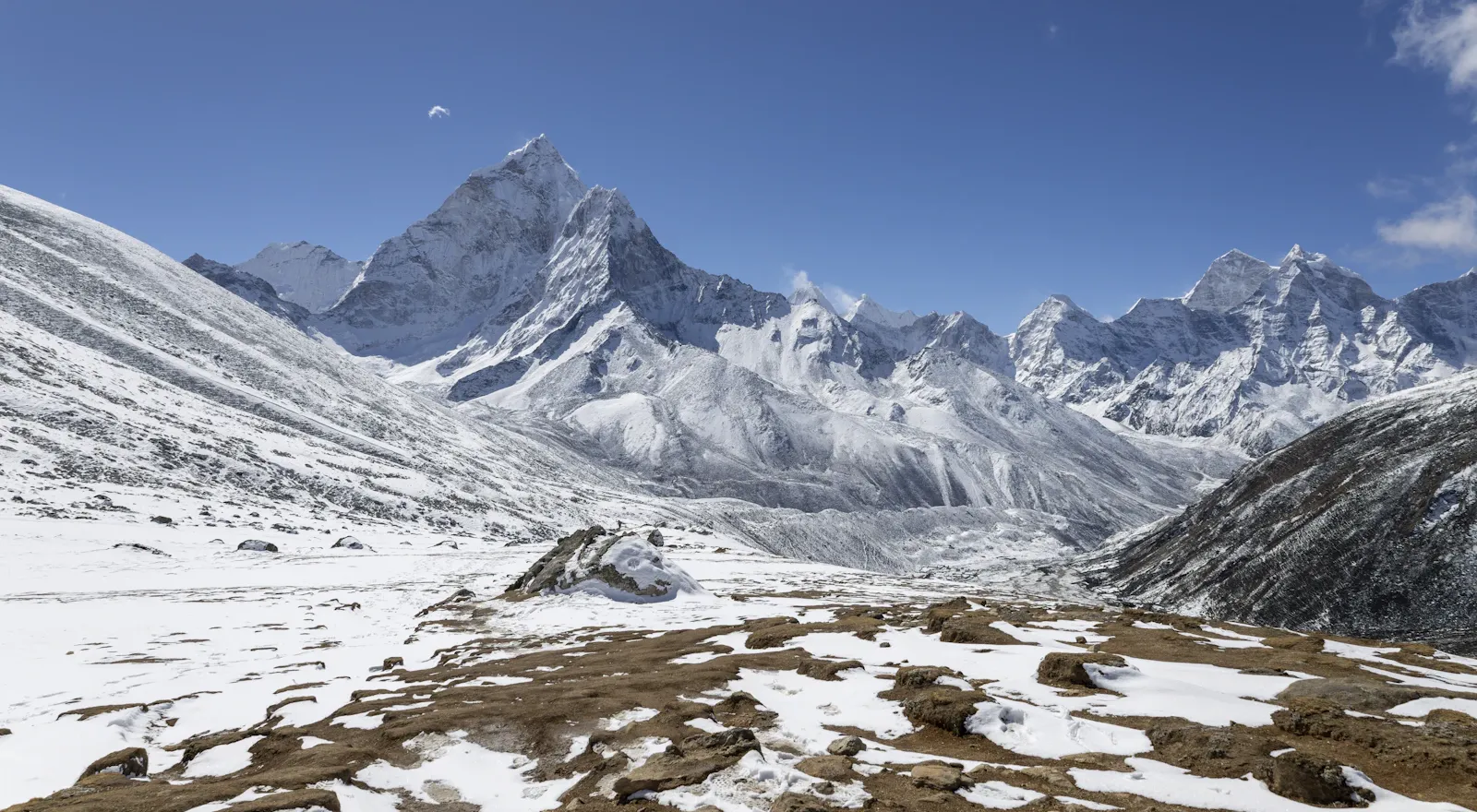
Everest Base Camp Trek via Cho La Pass with Island and Lobuche Peak 25 days
- Duration25 days
- Max. altitudeIsland Peak (Imja Tse) summit, 6,189 m
- GradeVery demanding (high-altitude trek and technical climbing)
- Start / endKathmandu to Kathmandu
- Group size
- Best seasonSpring (March–May) and autumn (late September–November)
- AccommodationHotels in Kathmandu, teahouses and tents at climbing camps
- MealsTeahouse meals on the trek
- ActivityTrekking and peak climbing
- TransportDomestic flights (Kathmandu–Lukla)
Overview
The Everest Base Camp Trek via Cho La Pass with Island and Lobuche Peak is an adventurous journey in the Khumbu region that combines a gradual altitude gain, a challenging mountain pass and two climbs above 6,000 m. It highlights the beauty of the Everest region and Everest Base Camp, together with summit attempts on Lobuche East Peak and Island Peak.
This trip is for trekkers who want more than a regular trek. The route takes you through Sherpa communities, across suspension bridges and past alpine landscapes, high mountains, glacial lakes and monasteries. Cho La Pass, at about 5,420 m, is a difficult crossing before you reach Everest Base Camp, and both climbs require proper preparation, equipment and acclimatization.
Choosing this route means preparing for a challenging Himalayan journey, not a normal hike. It combines the famous Everest Base Camp experience with Lobuche East (about 6,119 m) and Island Peak, also known as Imja Tse (6,189 m). Completing it depends on the weather, altitude, your physical fitness and, most importantly, your guide's instructions.
Everest Base Camp, Cho La Pass, Island Peak and Lobuche Peak: Trip Overview
Everest Base Camp: The iconic destination beneath the world's highest mountains, surrounded by the Khumbu Glacier and other Himalayan peaks. You'll stay in basic teahouses in the highest villages, visit Buddhist monasteries and explore local culture and traditions along the trek. Because Everest Base Camp sits at 5,364 m (17,598 ft), the trek is demanding.
Cho La Pass: A high mountain pass at 5,420 m that links the Gokyo Valley with the Everest Base Camp route. The trek takes you through the Khumbu region, where every turn brings you closer to the mountains, local villages, teahouses, people and their traditions, with glaciers and mountain peaks all around.
Lobuche East Peak: A challenging peak with steep snow and ice terrain in the Khumbu, at about 6,119 m. The climb requires proper preparation, climbing technique, equipment, technical guidance and knowledge of the area, weather and mountain conditions. It is for trekkers who are physically fit and mentally prepared.
Island Peak (Imja Tse): A high-altitude climbing peak at 6,189 m in Sagarmatha National Park. The route to the summit includes a steep, narrow ridge, and crampons, an ice axe, ropes and an experienced guide are essential. You must be physically and mentally fit for this climb.
Route Details
Kathmandu to Lukla and Phakding: The journey begins in Kathmandu with equipment checks, permit arrangements and a briefing with your climbing team. After the flight to Lukla, the trek continues to Phakding through small villages, forests and suspension bridges. Flights depend on the weather, so stay flexible; an extra day in Kathmandu after the trek helps, as the return flight may also be delayed.
Namche Bazaar and acclimatization: The route leads to Namche Bazaar, the Khumbu's best-known trading and cultural centre, entering Sagarmatha National Park on the way. On the acclimatization day you adapt to the altitude, and you can take a short hike to a higher viewpoint before returning to Namche to sleep.
Dole, Machhermo and the Gokyo Valley: After Namche, you take a quieter route into the Gokyo Valley, where forests and villages give way to open terrain, rocky slopes and glacial scenery. Gokyo is famous for its turquoise lakes and views of the surrounding peaks, and you can hike up Gokyo Ri if you are feeling well and your guide approves.
Crossing Cho La Pass: Cho La Pass sits at 5,420 m and connects the Gokyo Valley with the Everest Base Camp route. The crossing includes rocky terrain, slippery paths and ice- or snow-covered ground near the pass. Start early, carry enough water and food, and follow your guide's instructions. Equipment such as microspikes or crampons, a rope and an ice axe may be needed depending on surface conditions. If the pass is unsafe, wait or take an alternative route rather than forcing the crossing.
Everest Base Camp and Kala Patthar: After descending to Dzongla and continuing to Lobuche, the route heads to Gorak Shep and Everest Base Camp over rough glacial terrain with views of the Khumbu Glacier and surrounding mountains. Everest Base Camp sits at about 5,364 m, but Everest itself is not clearly visible from there; for a better view of Everest, Nuptse and nearby peaks, trekkers hike up Kala Patthar (5,545 m).
Lobuche East Peak climbing: Lobuche East Peak rises to 6,119 m. Start early, as the route may be slippery with snow or ice. To climb safely, you need crampons, an ice axe, a harness and ropes, depending on surface conditions and the route used. The summit attempt requires physical and mental fitness and basic mountaineering technique; progress depends on the weather and everyone's health, and the climbing leader guides the way.
Kongma La Pass and Chhukung: After the Lobuche climb, the route takes you over Kongma La Pass (5,535 m) to Chhukung. The Island Peak climb that follows is demanding and involves high-altitude exposure, so get proper rest and time to recover, attend the equipment briefing, and don't rush straight into the next climb.
Island Peak climbing: Island Peak (Imja Tse) rises to approximately 6,189 m. The route can include glaciers, ladder bridges, fixed ropes and a steep snow or ice wall, and conditions vary from season to season. The climb usually starts early to take advantage of firmer snow and leave enough time to descend. Returning safely to Base Camp or a lower point is as important as reaching the summit.
Return to Lukla and Kathmandu: After Island Peak, you return through Chhukung and the lower Khumbu villages to Namche and Lukla. As you descend, altitude exposure decreases, but fatigue and knee strain can still make the walk challenging. The return flight to Kathmandu also depends on the weather, so patience and an extra day before an international departure are important.
Highlights
- Everest Base Camp: follow the Everest climbing route beside the spectacular Khumbu Glacier
- Cross Cho La Pass (approx. 5,420 m), linking the Gokyo Valley and the Everest Base Camp region
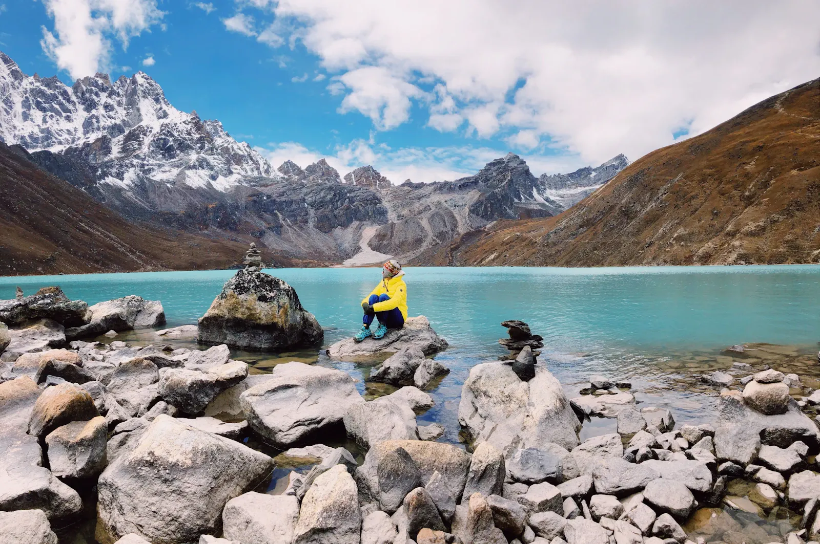
- See the turquoise Gokyo Lakes and, weather permitting, hike Gokyo Ri for amazing mountain views
- Climb Lobuche East Peak (approx. 6,119 m), a technical route on steep snow and ice
- Climb Island Peak (Imja Tse, 6,189 m) with an ice axe, ropes and other essential gear
- Hike up Kala Patthar (5,545 m) for the best views of Everest and Nuptse
- Sherpa culture: mountain communities, monasteries and traditional settlements including Namche Bazaar and Tengboche
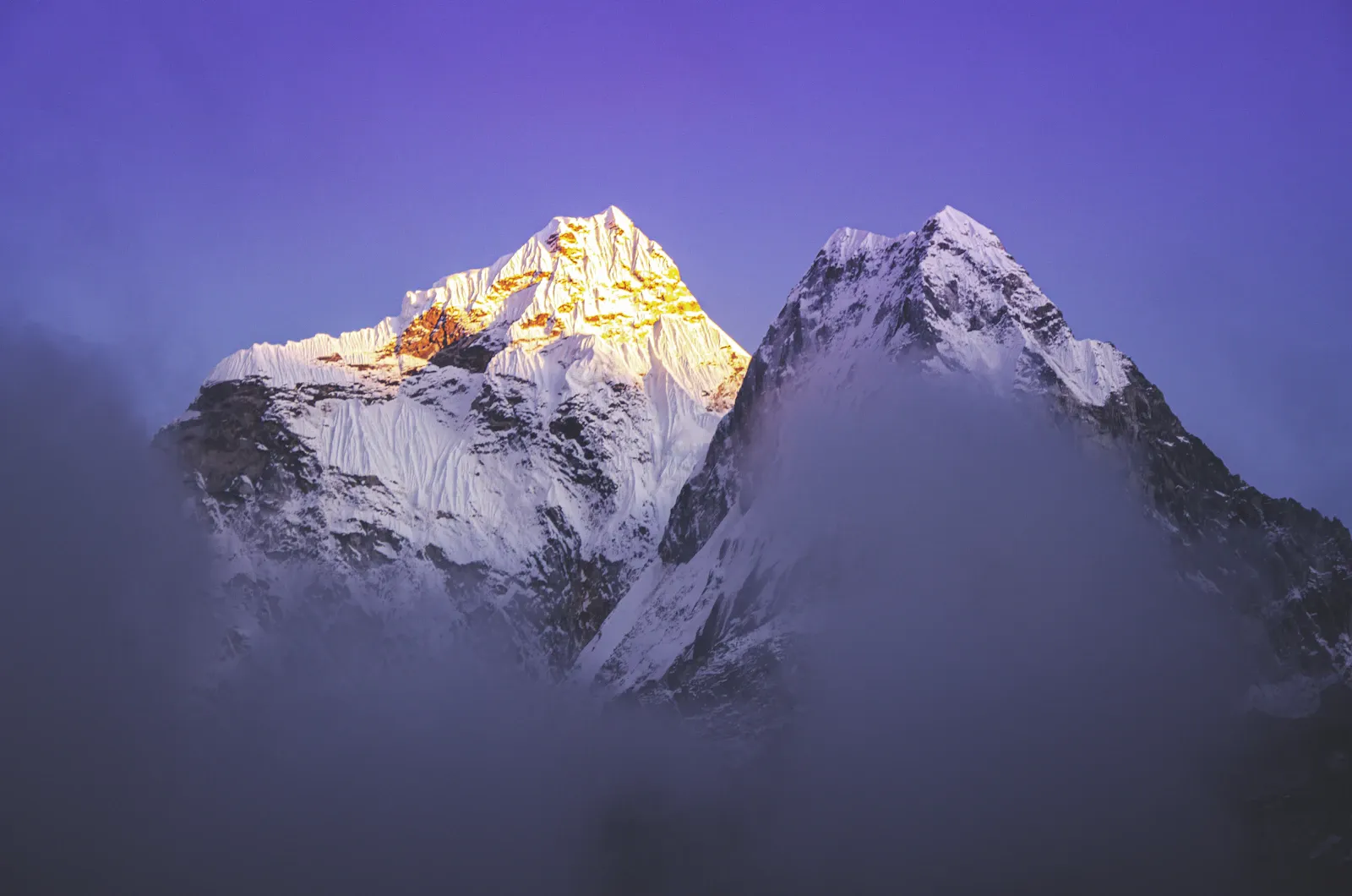
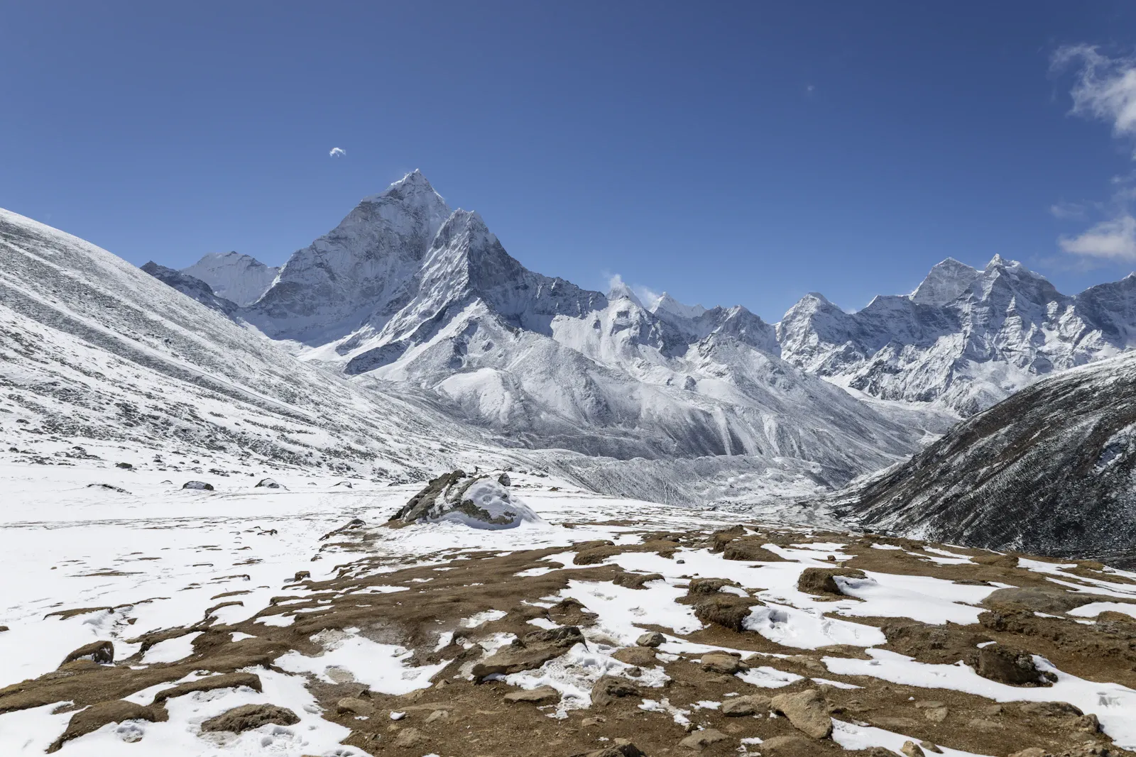
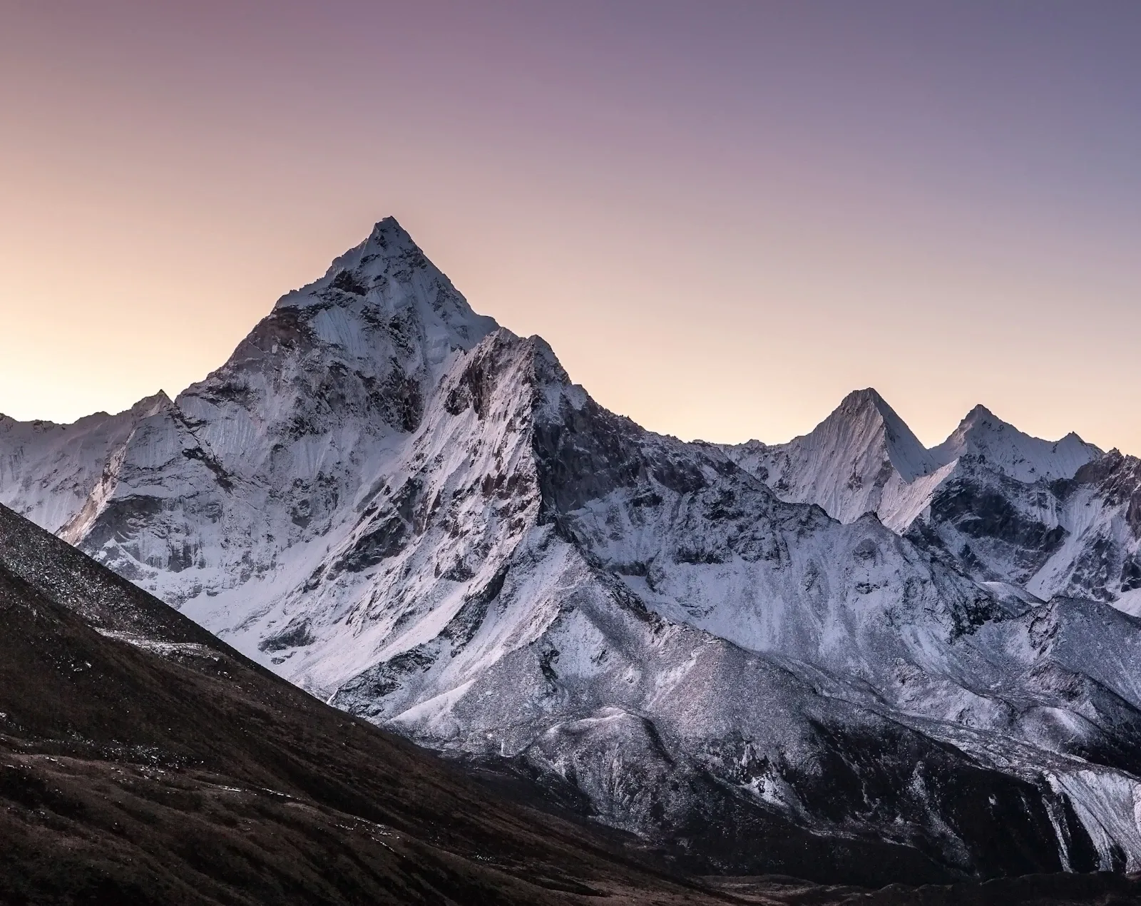
- Views of Everest, Lhotse, Nuptse, Ama Dablam and other peaks when the weather is clear
Altitude profile
Top: Island Peak (Imja Tse) summit, 6,189 mHover or tap a day for detailsScroll sideways to see every day
Itinerary at a glance
- Day 1Arrival in Kathmandu – Transfer to Hotel and Trip Briefing
- Day 2Equipment Check, Climbing Briefing and Final Preparation
- Day 3Fly to Lukla and Trek to Phakding
- Day 4Phakding to Namche Bazaar
- Day 5Acclimatization Day in Namche Bazaar
- Day 6Namche Bazaar to Dole
- Day 7Dole to Machhermo
- Day 8Machhermo to Gokyo
- Day 9Acclimatization and Optional Gokyo Ri Hike
- Day 10Gokyo to Thangnak (Dragnag)
- Day 11Cross Cho La Pass and Trek to Dzongla
- Day 12Dzongla to Lobuche
- Day 13Rest and Climbing Preparation in Lobuche
- Day 14Lobuche to Lobuche East High Camp
- Day 15Summit Attempt on Lobuche East Peak and Descent
- Day 16Lobuche to Gorak Shep and Everest Base Camp
- Day 17Kala Patthar and Trek to Dingboche
- Day 18Dingboche to Chhukung
- Day 19Chhukung to Island Peak Base Camp
- Day 20Summit Attempt on Island Peak and Descent
- Day 21Descend from the Island Peak Area to Pangboche
- Day 22Pangboche to Namche Bazaar
- Day 23Namche Bazaar to Lukla
- Day 24Fly from Lukla to Kathmandu
- Day 25Contingency and Departure Day
Day-by-day itinerary
Altitudes are the highest point reached that day. Walking times are typical and exclude breaks; your guide adjusts the pace to the group.
Your adventure begins when you arrive in Kathmandu, the gateway to the Everest region. After meeting your climbing team, you are transferred to your hotel and have time to rest. Depending on your arrival time, you may meet your climbing guide and receive a briefing on the trek and climbing programme, including the itinerary, safety procedures, permits, weather conditions and the high-altitude climbing sections.
You can then relax for the rest of the evening and prepare for the trek ahead.
Today you prepare for the expedition. Your guide checks your trekking and climbing equipment to make sure everything is ready for Lobuche East and Island Peak.
You'll receive a detailed briefing on the trekking route, acclimatization, AMS risks, climbing techniques and safety procedures. If any equipment is missing, it can be arranged in Kathmandu before you leave.
This day also helps you organize your bags and separate the equipment needed for the trekking and climbing sections.
Elevation change: +1,260 m from Kathmandu
An early-morning flight takes you from Kathmandu to Lukla, a small mountain town and the gateway to the Everest region. After landing, you meet the support team and start walking toward Phakding (2,610 m).
The trail passes small villages, stone walls, prayer wheels, suspension bridges and forested sections of the Dudh Koshi Valley. The first day is short, which helps your body adjust to the altitude. You spend the night in Phakding and prepare for the climb to Namche Bazaar.
Elevation change: +830 m
After breakfast, you continue north along the Dudh Koshi River toward Namche Bazaar, crossing several suspension bridges and walking through pine and rhododendron forests before entering Sagarmatha National Park.
The trail gets steeper as you approach the famous Namche hill, and the final section is an uphill climb. Namche (3,440 m) is the Khumbu's main trading and acclimatization centre, and spending the night here lets your body adapt to the higher elevation.
Elevation change: 0 m net, with additional climbing on the hike
Today is an important acclimatization day. Rather than staying completely inactive, take a short hike to a higher viewpoint and return to Namche for the night.
The hike gradually exposes your body to higher altitude while offering views of the surrounding Himalayan peaks. You can also explore the town, rest, hydrate and prepare for the ascent ahead. This day matters because the itinerary will soon take you above 4,000 m.
Elevation change: +600 m
From Namche, the route heads into the quieter side of the Khumbu toward the Gokyo Valley. You leave the busy lower trails behind as the landscape opens up, passing the Mong La area before continuing to Dole. Expect changing weather, mountain views and traditional settlements scattered across the hillsides.
As you gain altitude, the pace slows and becomes more controlled. Dole (4,040 m) is your first overnight stop above 4,000 m.
Elevation change: +430 m
The day takes you up the upper Dudh Koshi Valley to Machhermo (4,470 m). The trail climbs gradually through increasingly rugged terrain with fewer trees and more exposed slopes.
The surrounding peaks become clearer as you gain altitude. Because the air is noticeably thinner, the walk is kept short, leaving time to rest, stay hydrated and prepare for the climb to Gokyo.
Elevation change: +320 m
Today the route continues through a high-altitude landscape, crossing rough terrain shaped by the Ngozumpa Glacier before reaching the beautiful Gokyo Valley.
As you approach Gokyo (4,790 m), the green lakes and surrounding mountains make the journey especially rewarding. Gokyo, beside the famous Gokyo Lakes, is an important acclimatization point before the route heads toward Cho La Pass.
Elevation change: 0 m; viewpoint at about 5,357 m
A second acclimatization day is spent at Gokyo. If you feel well, take an early hike up Gokyo Ri (approx. 5,357 m).
The climb is steady and can be challenging because of the altitude, but the viewpoint offers beautiful views of the surrounding Himalayan landscape and glacial valleys. Afterwards, you return to Gokyo to rest for the night. This extra acclimatization is very important before crossing Cho La Pass.
Elevation change: −90 m
The trail follows the rugged landscape beside the Ngozumpa Glacier to Thangnak, also known as Dragnag (approx. 4,700 m).
The walk is relatively short, which helps acclimatization before the demanding Cho La crossing the next day. After arriving, rest, check your trekking and climbing equipment, and prepare for an early start.
Elevation change: +130 m overnight; pass at approx. 5,420 m
Today is one of the most demanding trekking days of the journey. You start early as the trail climbs to Cho La Pass at approximately 5,420 m.
The climb crosses rocky and icy terrain, and depending on the season and weather, snow and ice can make the crossing difficult. Your guide will lead you along the safest route at a comfortable pace.
From the top of Cho La, you descend to Dzongla (4,830 m). The day can be long, so walk steadily and stay hydrated throughout.
Elevation change: Approx. +80 m
After the challenging Cho La crossing, today's walk is shorter. You leave Dzongla and continue to Lobuche (4,910 m), which joins the main Everest Base Camp route.
The terrain becomes rougher as you near the Khumbu Glacier, and the surrounding mountains and glacial landscape remind you that you are now deep in the high Himalayas. After arriving, you rest and prepare for the Lobuche East climb.
Elevation change: 0 m
Today gives your body time to recover and prepare for climbing. Your guide checks your climbing equipment and teaches the techniques required for Lobuche East.
Depending on conditions, you may practise basic climbing skills, including walking in crampons, using a climbing harness, moving safely on snow and ice, and using an ascender or fixed-rope system where required. The day also provides extra acclimatization before going higher.
Elevation change: +690 m
After breakfast, you start the climb to Lobuche East High Camp (approx. 5,600 m). The route leaves the main trekking trail and enters more rugged, alpine terrain.
The ascent becomes steeper as you approach High Camp. Once there, settle in, check your climbing equipment, eat and rest as much as possible. Tomorrow is summit day, so preparing everything in advance is important.
Elevation change: Summit at 6,119 m, then descent
Today you start very early, usually before sunrise, and climb toward the summit under your guide's direction.
The climb becomes more challenging as you gain altitude, and depending on the route and weather, you may need technical climbing equipment on steeper snow or ice sections.
Reaching the summit of Lobuche East at approximately 6,119 m rewards you with impressive views of the surrounding Himalayan peaks and valleys. After time at the top, you descend carefully. Where you spend the night depends on the team's condition, the weather and the descent plan; returning safely is as important as climbing up.
Elevation change: +254 m net; Everest Base Camp at 5,364 m
After the Lobuche East summit attempt, you continue to Gorak Shep (5,164 m) and then on to Everest Base Camp.
The trail crosses the rugged Khumbu Glacier landscape and rocky paths with dramatic views of the surrounding peaks. Reaching Everest Base Camp is a key moment of the journey. After spending time at Base Camp, you return to Gorak Shep for the night.
Elevation change: Up to Kala Patthar (5,545 m), then sleeping altitude decreases to 4,410 m
An early start takes you up Kala Patthar, the most popular viewpoint in the Everest region. The climb is steep, and the altitude makes it physically challenging, but the views of Everest and the surrounding peaks are outstanding.
After returning to Gorak Shep, you continue down through the Khumbu Valley to Dingboche (4,410 m). The lower altitude brings relief after several days above 5,000 m.
Elevation change: Approx. +320 m
Today the trail follows the Imja Valley to Chhukung (4,730 m). The walk is fairly short, giving you time to recover before the Island Peak climb.
Chhukung is surrounded by beautiful mountain scenery and is one of the main bases climbers use to prepare for Island Peak. After arriving, rest, recheck your equipment and prepare for the climb ahead.
Elevation change: Approx. +370–470 m (Base Camp approx. 5,100–5,200 m)
Leaving Chhukung, the trail heads to Island Peak Base Camp, and the terrain becomes rougher as you enter the alpine environment below the peak.
At Base Camp, the climbing team sets up camp and makes final preparations for the summit attempt. Your guide reviews climbing techniques, rope procedures, equipment and the safety practices important for the climb. You'll have an early meal and rest before the long summit day.
Elevation change: Summit at 6,189 m, then descent (overnight approx. 4,730–5,200 m)
The summit attempt begins very early, usually before sunrise. The route becomes steeper as you climb toward the upper sections of the mountain.
The climb includes glacier travel, snow terrain and fixed ropes, and your guide uses climbing equipment as conditions require.
After reaching the summit at approximately 6,189 m, you descend carefully; the descent can be as challenging as the ascent after many hours at high altitude. Depending on route conditions and your guide's plan, you spend the night at Base Camp or descend to Chhukung.
Elevation change: Approx. −745 to −1,215 m
After the Island Peak climb, you descend through the Imja Valley to lower landscapes where the air is thicker and recovery is easier.
You continue through mountain villages to Pangboche (3,985 m), and the terrain turns greener as you lose altitude. Pangboche is a comfortable stop after the demanding climbing days.
Elevation change: Approx. −545 m
The trail continues down the Khumbu Valley to Namche Bazaar through familiar villages and forested sections.
The lower section is generally easier than the high-altitude sections, although your legs may still feel tired after the climbing days. After reaching Namche, you can rest and enjoy the mountain town.
Elevation change: Approx. −580 m
Today you return to Lukla (2,860 m). The route has several uphill and downhill sections and crosses suspension bridges through forests and villages.
Use the evening to rest and celebrate completing your climbing objectives.
After breakfast, you prepare for the flight from Lukla to Kathmandu. Mountain flights depend on weather and visibility, so departure times may change.
On arrival in Kathmandu, you are transferred to your hotel. Use the rest of the day to rest, take care of personal errands or explore the city if time and energy allow.
This day is kept as a contingency day, because flights between Kathmandu and Lukla can be affected by mountain weather, visibility or operational conditions.
If the return flight runs on schedule on Day 24, you can use this day for your departure or for extra time in Kathmandu. If there were delays during the trip, it gives the expedition schedule some flexibility. Your guide or expedition team will help with final arrangements for your onward travel.
Customize this trip
Every itinerary on this page can be changed. Tell us what you would like and a trip planner will send back a tailored day-by-day plan and price, usually within a few hours.
- Add rest or acclimatisation days
- Upgrade hotels and lodges
- Combine it with another trek, tour or safari
- Travel privately on your own dates
Dates & prices
Departure dates and prices are confirmed on request.
Can't see your date?
Pick any start date in the booking box or send us your plans and we'll confirm availability within a few hours.
Includes & Excludes
Includes
Full-service package
- Trekking and climbing guides
- Trekking and climbing permit arrangements
- Teahouse accommodation and camping equipment
- Meals
- Porter support
- Climbing equipment
Excludes
Additional expenses
- International flights and Nepal visa
- Personal climbing equipment and rental charges
- Travel insurance
- Accommodation and meals in Kathmandu, if excluded
- Tips, snacks, hot showers, Wi-Fi and charging
- Extra nights and transport caused by delays
Packing list
Pack for several weeks of trekking, cold nights at high altitude and technical climbing. Confirm the final equipment list with the climbing operator, especially the gear required for both summit attempts: some items may be included in the package, while others need to be bought or rented.
Clothing
- Moisture-wicking base layers
- Trekking shirts and trousers
- Warm fleece or insulating mid-layer
- Insulated down jacket for high-altitude conditions
- Waterproof and windproof jacket and trousers
- Warm hat, sun hat and neck covering
- Insulated gloves and lighter gloves
- Trekking socks and warm mountaineering socks
- Waterproof trekking boots and suitable mountaineering boots
- Comfortable camp shoes or sandals
Trekking Equipment
- Backpack and daypack
- Sleeping bag suitable for cold temperatures
- Trekking poles
- Headlamp with spare batteries
- Sunglasses with high-altitude UV protection
- Sunscreen and lip balm
- Reusable water bottles or hydration system
- Water purification supplies
- Personal toiletries and quick-drying towel
- Personal medication and basic first-aid kit
Technical Climbing Equipment
- Climbing helmet
- Climbing harness
- Mountaineering boots compatible with crampons
- Crampons
- Ice axe
- Carabiners and required attachment equipment
- Ascender and fixed-rope equipment, as instructed
- Gaiters and other required protective equipment
Documents and Personal Items
- Valid passport and travel documents
- Required trekking and climbing permits
- Travel insurance documents and emergency contacts
- Cash for personal expenses
- Phone and power bank
- Copies of important documents
Useful trip information
Spring (March–May): One of the most popular seasons for trekking and climbing in the Everest region. The weather becomes warmer and the days suit walking and climbing, but temperatures stay low at higher elevations, and snow or strong winds can affect Cho La Pass and both summit attempts. Check weather and trail conditions before crossing high passes or attempting either summit.
Autumn (late September–November): Another popular season. Skies are often clearer after the monsoon, giving good mountain views and suitable trekking conditions. Temperatures can drop significantly at higher elevations, especially at night and during early-morning summit climbs, so check the weather regularly before crossing Cho La Pass and attempting Island Peak and Lobuche Peak.
Winter (December–February): Very cold temperatures, snowfall and icy trails. High passes and climbing routes become more difficult because of snow, strong winds and freezing conditions, and crossing Cho La Pass and attempting both summits may need extra preparation and equipment. Consider winter departures only when the climbing operator confirms the route, weather and support are suitable.
Monsoon (June–September): Rain, cloudy skies and possible landslides, particularly at lower elevations. Rain and poor visibility can delay flights and affect travel plans, and snow, strong winds and changing weather can still affect trekking and climbing higher up. Flexible dates and extra days help if delays occur.
The best departure season depends on weather, snow levels, permits and the group's experience. Consult the trekking and climbing operator before confirming dates for both summit attempts.
Trek difficulty: The trek includes long walks, steep ascents and descents, suspension bridges and extended exposure to high altitude. Crossing Cho La Pass can be particularly hard when snow or ice covers the route.
Lobuche East climbing difficulty: Lobuche East requires mental as well as physical preparation, as the terrain, exposure, crampon use and rope systems make reaching the summit very challenging. Previous mountain treks are useful.
Island Peak climbing difficulty: Island Peak involves glacier travel and steep climbing sections near the summit. Climbers need proper instruction in using crampons, an ice axe, a harness and fixed ropes, and must be able to follow the guide's safety procedures while tired.
Physical preparation: Start a proper training routine a few months before the trip, including:
- Long hikes on uneven trails, gradually increasing the distance
- Walking and climbing stairs while carrying a weighted backpack
- Cardiovascular training such as running, cycling or brisk walking
- Leg-strengthening exercises for long walking days
- Practice with climbing equipment and trekking poles before the trip
Fitness helps, but it does not prevent altitude sickness. Even very fit people can develop AMS, so proper rest and awareness of the symptoms are essential.
Altitude is the most demanding part of this trip. You'll spend many nights above 4,000 m and climb above 6,000 m during the peak attempts.
AMS symptoms include headache, nausea, dizziness, tiredness and loss of appetite. More serious altitude sickness can cause shortness of breath and become life-threatening. To reduce the risk:
- Ascend gradually and follow the acclimatization schedule
- Walk slowly – it is not a race
- Drink enough fluids and eat proper meals
- Don't push on if you have symptoms of AMS
- Tell your guide immediately if you feel unwell during the climb
Warning signs such as confusion, difficulty walking straight or shortness of breath need immediate treatment and urgent attention from trained professionals.
Before crossing Cho La Pass:
- Check weather, snow and ice conditions with your guide
- Start early to avoid problems late in the day
- Wear suitable footwear and carry the equipment advised
- Stay on the marked route and don't wander onto the glacier
Before climbing Lobuche East or Island Peak:
- Make sure you have the right gear and proper training
- Check the weather forecast and ask your guide whether the route is safe
- Use suitable climbing gear such as ropes, harnesses, climbing boots and helmets
- Follow your guide's instructions on turnaround times and descent plans
- Don't keep climbing just because you are close to the summit
Throughout the expedition:
- Carry a first-aid kit and stay in contact with your guide
- Arrange travel insurance that covers high-altitude trekking, mountaineering and emergency helicopter rescue
- Keep extra days for bad weather, delays or rest
- Respect your guide's decision to delay or cancel a crossing or summit attempt for safety reasons
Accommodation: In Kathmandu, you stay in a hotel or guesthouse. On the trek, teahouses and mountain lodges provide basic rooms and meals, and at the higher camps climbers stay in tents, depending on the climbing schedule and arrangements. Facilities become more limited with altitude; hot showers, Wi-Fi, charging points and private rooms may not always be available and may cost extra.
Meals: Typical meals include dal bhat, rice, noodles, soup, potatoes, eggs, porridge and other local or Western dishes available at teahouses. Eat regularly and choose foods that give enough energy for long days of walking and climbing. Appetite may drop at altitude, so carry suitable snacks; food options vary between villages and are more limited at high camps.
Drinking water: Stay hydrated throughout the trek. Carry a reusable water bottle, follow your guide's advice on water sources, and boil, filter or purify water before drinking. Don't drink untreated tap water.
This route includes trekking in the Everest region and two separate peak climbs. Check the latest permit requirements with your trekking and climbing agency before you start. The permits usually include:
- Sagarmatha National Park entry permit – required to enter the protected areas of the Everest region
- Khumbu Pasang Lhamu Rural Municipality entry fee – a local entry charge paid before entering the trekking area
- Island Peak climbing permit – required under Nepal mountaineering rules
- Lobuche East climbing permit – required for the separate Lobuche East climb
- TIMS or other trekking documents – confirm whether these are required for your route
The overall cost depends on the trekking agency, guides, arrangements, equipment rental, accommodation, food and permits included in the package. Use this breakdown to budget:
| Expense | How to budget |
|---|---|
| International flights | Depends on departure country and booking date |
| Kathmandu accommodation | Depends on the hotel and the number of nights |
| Kathmandu–Lukla flight | Depends on the current fare and any Ramechhap transfers |
| Trekking and climbing guides and porters | Depends on staffing, duration and group size; get a separate quote for both peaks |
| Food and teahouses | Depends on the days included |
| National park and local permits | Depends on current official fees |
| Island Peak climbing permit | Depends on the season and fee schedule |
| Lobuche East climbing permit | Depends on the season and fee schedule |
| Climbing equipment | Depends on what is provided and what needs to be rented |
| Insurance | Must cover high altitude and climbing activities |
| Tips and personal spending | Keep a separate budget |
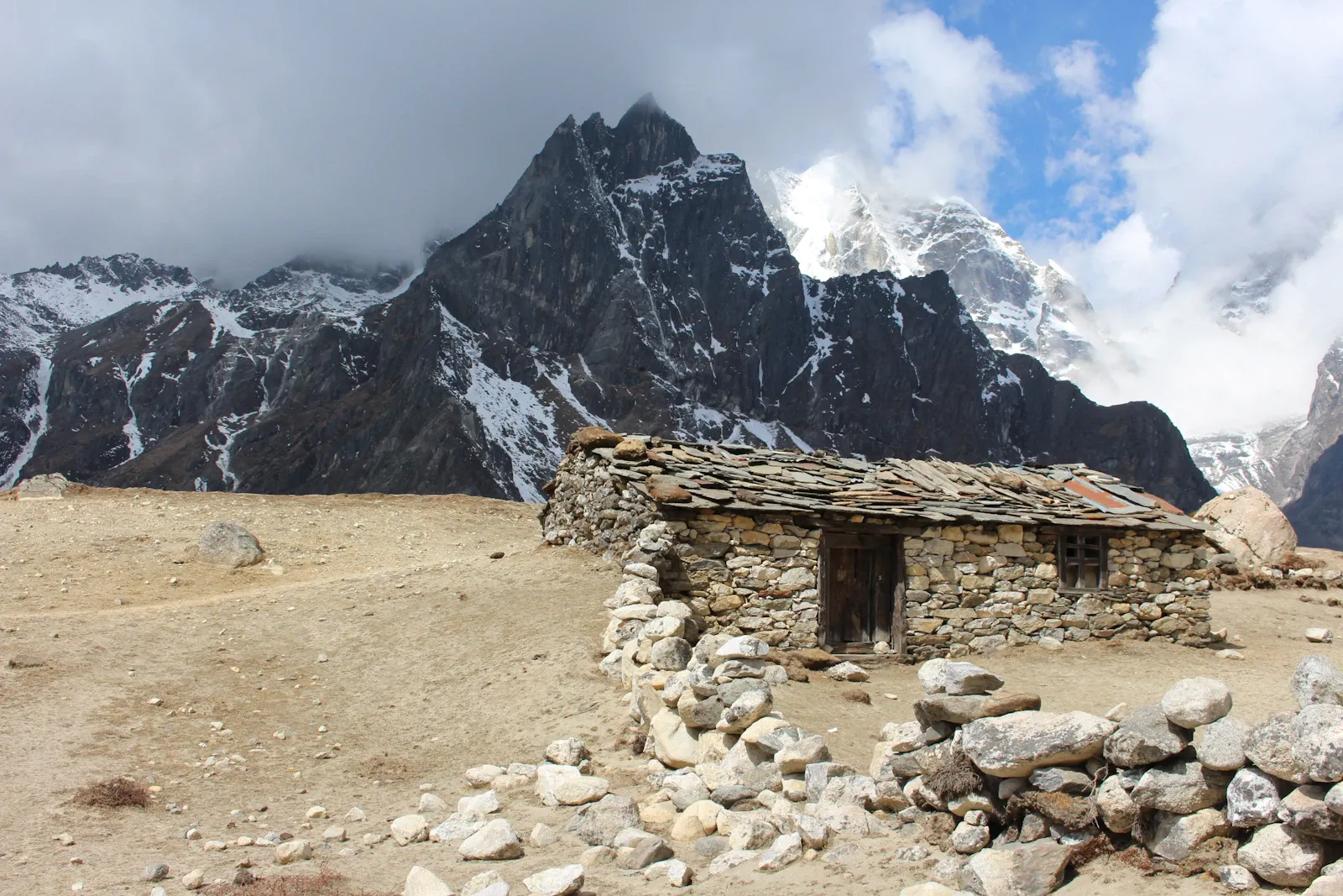
The Khumbu region is home to Sherpa communities with rich cultural and religious traditions, and you'll pass monasteries, prayer wheels and mani walls along the trek. Treat places and people with respect, follow your guide team's advice, and ask before photographing local people and their communities.
Support local teahouses and lodges, and buy locally made products. Reduce waste by carrying a reusable water bottle, minimizing single-use plastics and leaving nothing behind. Responsible trekking means respecting both the mountain environment and local communities.
Choose a policy that covers high-altitude trekking and, if needed, emergency helicopter rescue at high altitude. Read the policy before the trip, as some travel insurance does not cover technical climbing or rescue above a certain altitude.
Keep a record of your policy, emergency contacts and relevant medical information with you throughout the trip.
Want to combine the Everest Base Camp trek, the Cho La Pass crossing and two high-altitude climbs in one adventure? Contact us to discuss departure dates, group size, climbing support, equipment requirements and itinerary adjustments.
The itinerary can be customized to your experience, fitness level and travel schedule. However, any change to the route or duration should be reviewed by the trekking and climbing team to allow enough time for acclimatization, recovery and possible weather delays.
Traveller reviews
Read more on TripadvisorPaced perfectly for the altitude
Our guide checked our oxygen levels every evening and never once rushed us. Standing at base camp after nine days of walking was emotional, and the team made it feel effortless to organise.
Thorong La at sunrise
We left High Camp at 4 am and topped out on the pass as the sun hit the snow. The teahouses were well chosen, food was hot, and our porter Binod became a friend.
Small group, big views
Mardi Himal was the perfect short trek for us. Rhododendrons in full bloom, Machhapuchhre right in front of us at high camp, and a guide who knew every village we passed.
Langtang exceeded every expectation
Close to Kathmandu but it feels remote. Kyanjin Gompa and the climb to Tserko Ri were highlights. Communication before the trip was quick and honest about what to expect.
You might also like
More trips in the Everest Region and similar adventures.
Everest Region
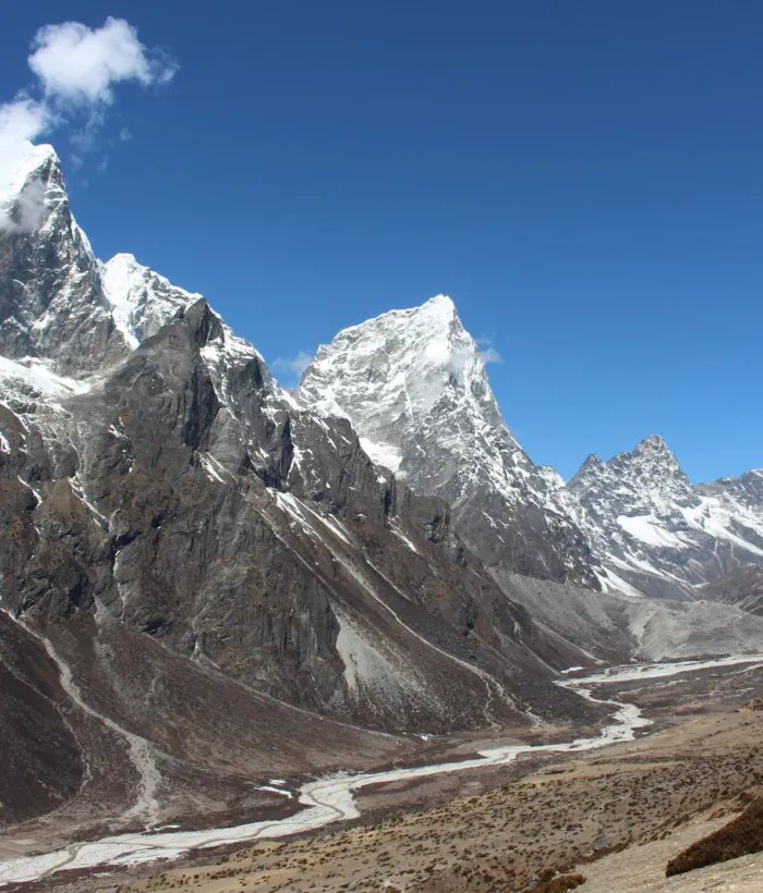
Cho La Pass with Lobuche Peak-Cross High Mountains
Everest Region
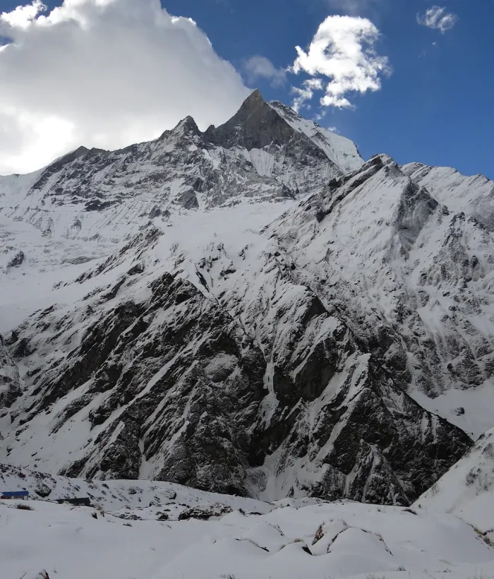
Cholatse Peak Climbing
Annapurna Region
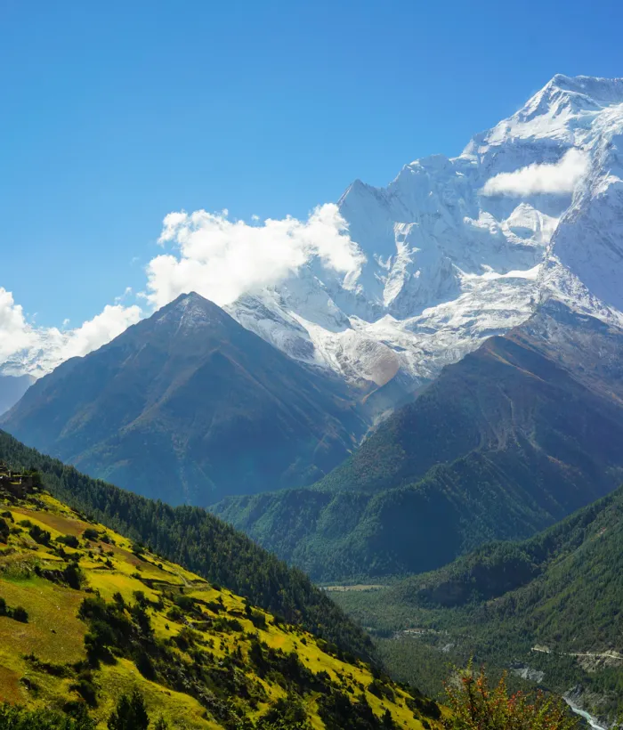
Singu Chuli Peak Climbing
Annapurna Region
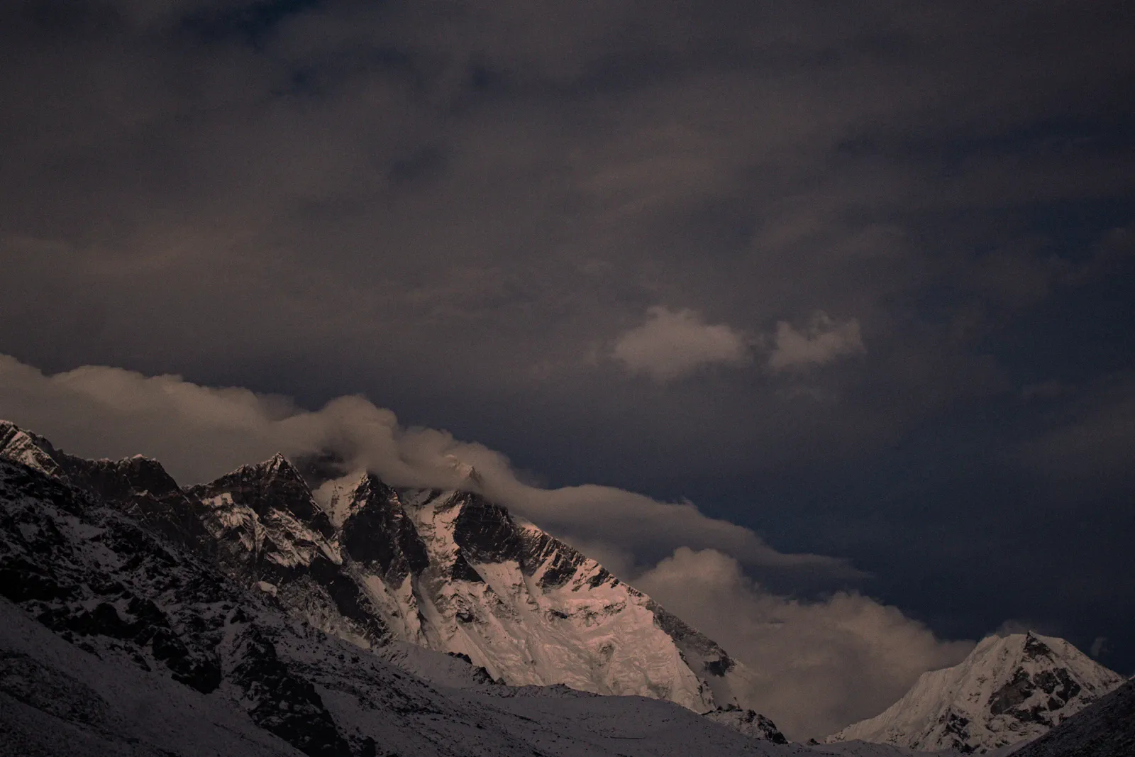
Chulu West Peak Climbing
Ready for the Everest Base Camp Trek via Cho La Pass with Island and Lobuche Peak?
Send us your preferred dates. We'll confirm availability, flights and lodges, and answer any question before you pay a deposit.